


Geological Suitability Zones 2025 February
The Geological Survey Department of Cyprus has published the new Geological Suitability Zo ...
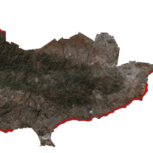
Orthoimagery 2019
The Department of Land and Registry has published its "newest" orthoimagery/true orthophot ...

Geological Suitability Zones 2022
The Geological Survey Department of Cyprus has published the new Geological Suitability Zo ...