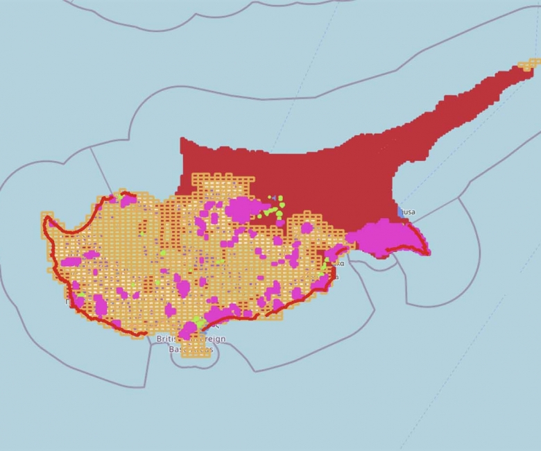
Thematic maps present specific information such as land use, zoning, geology, ownership or environmental data as clear, visual maps. Using professional GIS, P.A.L. creates custom thematic maps for Cyprus that turn complex spatial data into insight for planning, analysis and presentation.
General usage of the service:
Area Terrain
Population distribution map
Land use
Building’s height map
Tourist map
Cadastral map
We produce maps for
Town planning and zoning
Land use and cadastral analysis
Geological and environmental data
Custom datasets for reports and presentations
Ideal for
Developers, planners, public bodies, and any project that needs spatial data communicated clearly.
Why choose P.A.L.
GIS specialists who combine authoritative Cyprus data sources with clean, professional cartography.