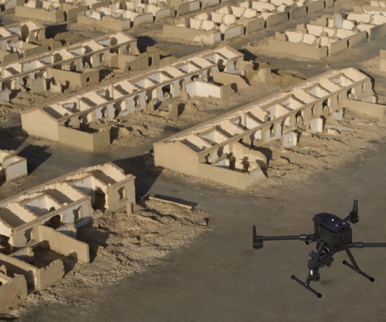
Aerial surveying uses drone-mounted sensors to capture large, complex or hard-to-reach sites quickly and safely, with survey-grade accuracy. P.A.L. delivers high-resolution aerial data for sites across Cyprus, turning thousands of images into precise maps and 3D models.
General usage of the service:
Urban and Rural Planning
Contours production of large area or impossible to access area e.g., mountain
Compare changes over time e.g., coastline, slope
Highway Design
Volume Calculations
Deliverables include
High-resolution orthophotos (ortho-imagery)
Digital Terrain, Surface and Elevation Models (DTM / DSM / DEM)
3D point clouds and textured models
Volume calculations and contour mapping
Ideal for
Large land parcels, quarries and stockpiles, construction progress monitoring, inaccessible terrain, and heritage or 3D documentation.
Why choose P.A.L.
Licensed surveyors flying professional survey drones, with the ground-control expertise to guarantee accurate, georeferenced results.