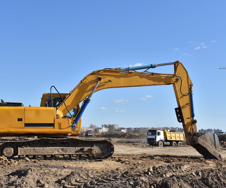
Accurate earthworks calculations tell you exactly how much material must be cut or filled on a site, which is essential for budgeting and controlling excavation and grading works. P.A.L. uses precise survey data and 3D terrain models to deliver reliable volume figures for projects across Cyprus.
General usage of the service:
Quarry sites
Site development
Road construction
What we provide
Cut-and-fill volume calculations from survey data
Before-and-after (progress) volume comparisons
Stockpile and excavation quantity measurement
Clear reports and 3D terrain models (DTM)
Ideal for
Construction earthworks, quarries and stockpiles, land levelling, and cost estimation and verification.
Why choose P.A.L.
Survey-grade data captured by GNSS and drone, turned into dependable quantities you can build a budget on.