SERVICES
Aerial Survey
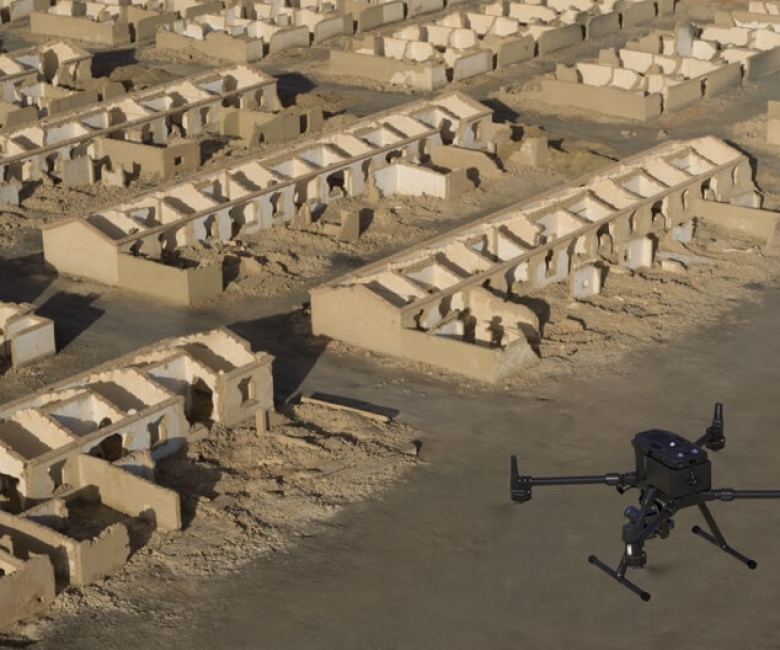
Aerial Survey is the method used to survey large area or an area that is impossible or impractical to survey. Aerial Survey has advance in the past decade with the introduction of drones to commercial market. Using drone technology, substantial amount of nadir and oblique photographs are captured of the area and by post-processing them a 3D model is created of the area. Using the 3D model features requested by the client are extracted. The biggest advantage of aerial survey compared with the traditional survey is that it creates a snapshot of the area which can be used to extract additional features without re-visiting the site.
General usage of the service:
- Urban and Rural Planning
- Contours production of large area or impossible to access area e.g., mountain
- Compare changes over time e.g., coastline, slope
- Highway Design
- Volume Calculations

STEPS
The Application Process

01MEETING
The client sets the specifications of the survey

02COMPLETION
Data is submitted to the client for comments

03APPROVAL
Digital map is extracted to the format requested

