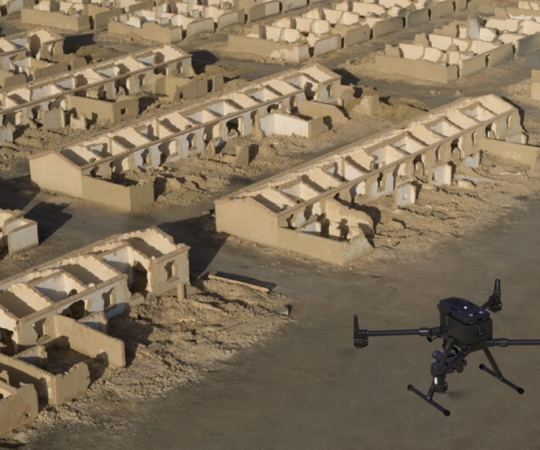
Aerial Survey is the method used to survey large area or an area that is impossible or impractical to survey. Aerial Survey has advance in the past decade with the introduction of drones to commercial market. Using drone technology, substantial amount of nadir and oblique photographs are captured of the area and by post-processing them a 3D model is created of the area. Using the 3D model features requested by the client are extracted. The biggest advantage of aerial survey compared with the traditional survey is that it creates a snapshot of the area which can be used to extract additional features without re-visiting the site.