
If you own, design or manage buildings in Cyprus, you may have heard the term Scan to BIM (also written Scan 2 BIM or Scan2BIM). It is one of the fastest, most accurate ways to capture an existing building or site and turn it into a usable digital model. This short guide explains what Scan to BIM is, how it works, what you receive and when it makes sense to use it.
What is Scan to BIM?
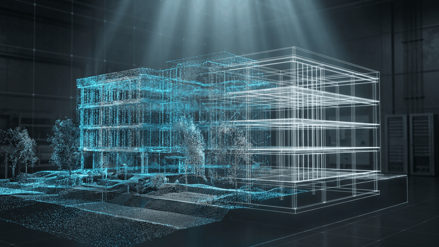
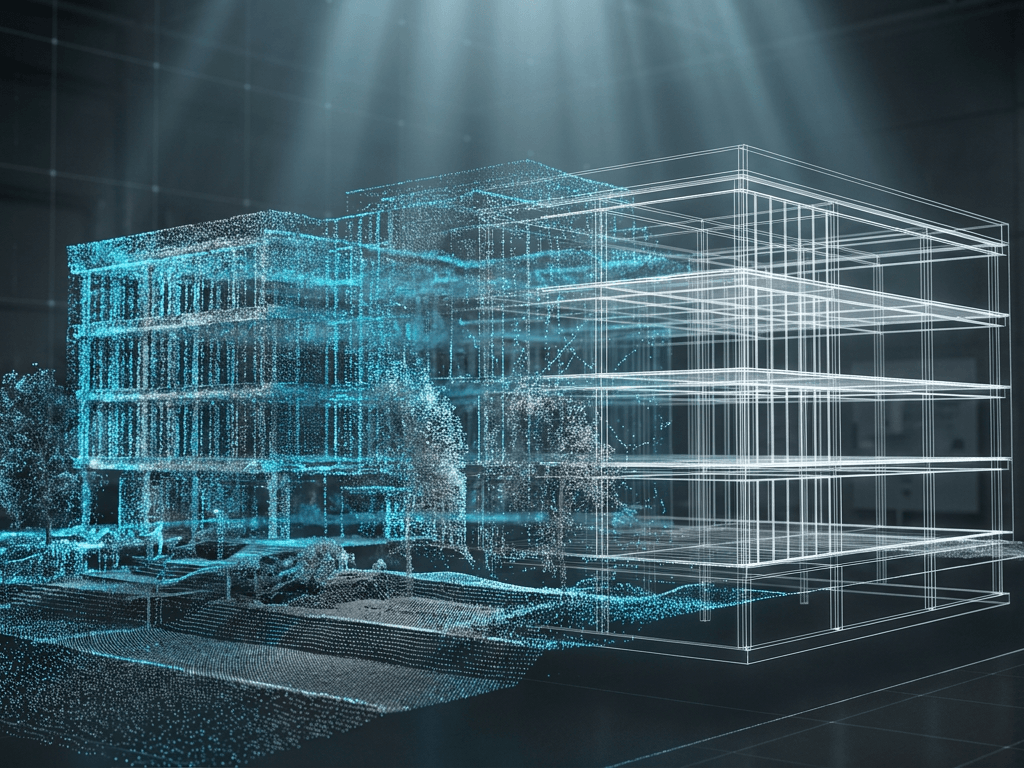
Scan to BIM (Building Information Modelling) is the process of capturing a real building or site with 3D laser scanning and turning the resulting data into an accurate 3D digital model. Instead of measuring a building by hand, we scan it – recording millions of precise points – and model those points into a coordinated, information-rich BIM model that reflects the real, as-built conditions.
How Scan to BIM works
The process has four main stages:
- Capture – the site is scanned with terrestrial laser scanners, SLAM mobile mapping and, where useful, drone photogrammetry.
- Register – individual scans are aligned into one accurate, georeferenced point cloud.
- Model – the point cloud is modelled into a BIM model at the agreed level of detail.
- Deliver – you receive the model, drawings and point cloud in open, ready-to-use formats.
What you get
A typical Scan to BIM deliverable includes:
- A registered point cloud (E57)
- An open-standard IFC BIM model
- 2D CAD drawings – plans, sections and elevations
- Online access to the point cloud and 360° panoramic images, viewable in any browser
When do you need Scan to BIM?
Scan to BIM is especially valuable when you work with existing buildings, where drawings are missing, outdated or unreliable. Common uses in Cyprus include:
- Renovation, refurbishment and retrofit projects
- Architectural and structural design on existing buildings
- MEP coordination and clash detection
- Heritage and listed-building documentation
- Facilities and asset management
Understanding Level of Detail (LOD)
Not every project needs the same level of modelling. Level of Development (LOD) defines how detailed the BIM model is – from LOD 200 (approximate geometry for early design) to LOD 300/350 (accurate, coordinated elements). Agreeing the right LOD up front means you only pay for the detail you actually need.
Why choose P.A.L. for Scan to BIM in Cyprus
As licensed land surveyors, we combine survey-grade accuracy with professional BIM modelling. We capture with laser scanning, SLAM and drone, and deliver open-standard models you can build on with confidence – anywhere in Cyprus.
Ready to start? Explore our full Scan to BIM & 3D laser scanning service in Cyprus, or contact our team for a tailored quote.
See a recent example of our 3D work – the 3D digital twin of Aphrodite Hills resort, built from drone photogrammetry.