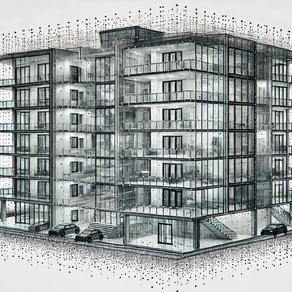
3D laser scanning and Scan to BIM services in Cyprus. We capture existing buildings and sites as high-density point clouds and turn them into accurate IFC BIM models and as-built drawings for renovation, MEP coordination, heritage and facilities management.
General usage of the service:
Our Scan to BIM service (also written Scan 2 BIM or Scan2BIM) turns an existing building or site in Cyprus into an accurate 3D digital model and reliable as-built drawings.
Our as-built drawings serve a wide range of industries and purposes such as:
Renovations and Retrofitting: Clearly understand the existing conditions before the renovation of a project.
FacilityManagement: Keep a record of your building correct for efficient operation and maintenance.
Heritage and Preservation: Historic structures can be documented with precision to aid in preservation efforts.
Construction Projects: Seamless communication and coordination among stakeholders are ensured with reliable as-built documentation.
Deliverables Tailored to Your Needs
We know each project is different. That is why we can provide as-built drawings in various formats to suit your needs:
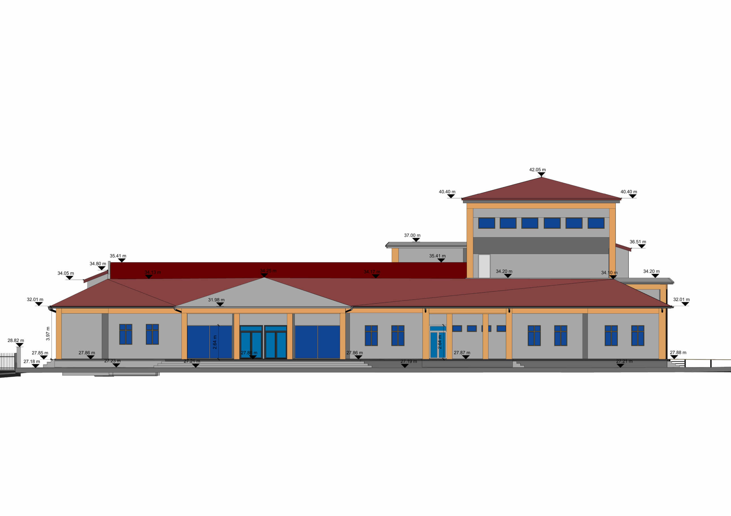
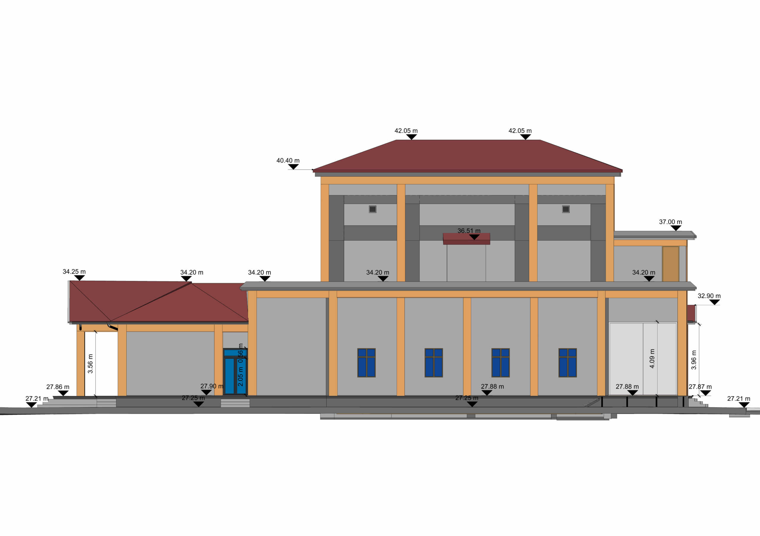
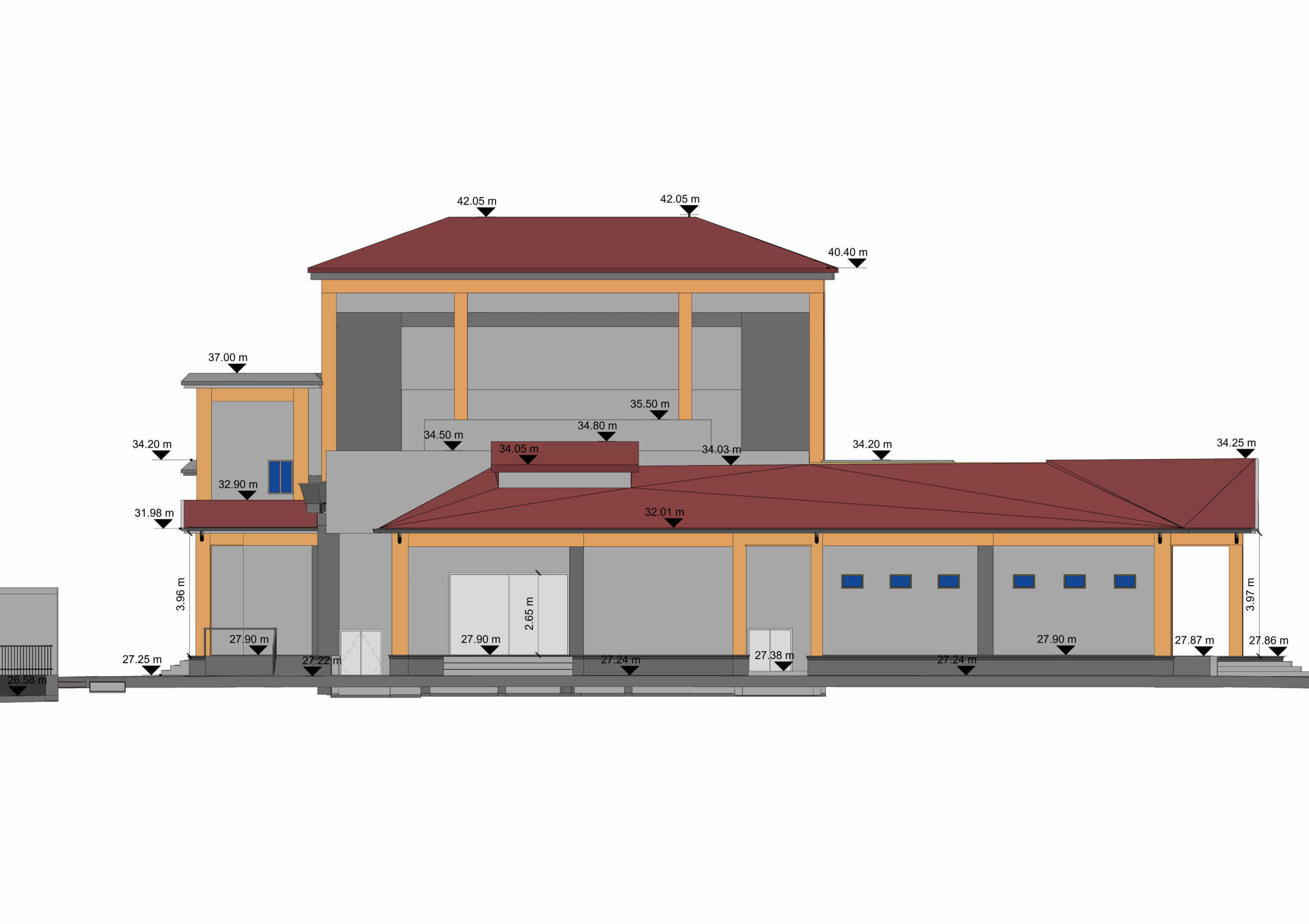
CAD Format: For the professional who utilizes AutoCAD or a similar platform, our accurate 2D and 3D CAD drawings are perfect for showing the existing conditions of your building. From floor plans to elevations, each line and dimension is carefully drawn.
BIM (LOD 300): We provide BIM models at Level of Development 300 for our BIM clients. Level of Development 300 includes accurate geometry and the most important data, positioning these models for use in design, construction coordination, and facility management.
From 3D laser scan to BIM model
Scan to BIM turns a real building or site into an accurate 3D digital model. We capture existing conditions with high-density 3D laser scanning, SLAM mobile mapping and drone photogrammetry, then convert the point cloud into a coordinated BIM model (IFC) and precise as-built drawings – a reliable basis for renovation, retrofit, MEP coordination and facilities management.
How Scan to BIM works
Capture – we scan the site with terrestrial laser scanners, SLAM and/or drone.
Register – the scans are aligned into one accurate, georeferenced point cloud.
Model – the point cloud is modelled into a BIM model at the agreed level of detail.
Deliver – you receive the BIM model, 2D drawings and the point cloud in your preferred formats.
What you receive
Registered point cloud (E57 / LAS / LAZ)
Online access to the point cloud and 360° panoramic (pano) images – view directly in your browser, no software needed
BIM model in IFC (open BIM standard)
2D CAD drawings – plans, sections and elevations (DWG/DXF, PDF)
3D mesh and orthophotos where required
Level of detail (LOD)
We deliver to the level of development your project needs – from LOD 200 (approximate geometry for early design) to LOD 300/350 (accurate, coordinated elements) – so you only pay for the detail you use.
Software & formats
Open-standard IFC BIM models, with point clouds in E57, LAS and LAZ – compatible with your existing BIM and CAD workflows.
Where Scan to BIM is used
Renovation, refurbishment and retrofit
Architecture and structural design on existing buildings
MEP coordination and clash detection
Heritage and listed-building documentation
Facilities and asset management
Industrial plants, real estate and due diligence
Why choose P.A.L.
As licensed land surveyors, we combine survey-grade accuracy with professional BIM modelling – capturing with laser scanning, SLAM and drone, and delivering models you can build on with confidence. Explore our GIS platform and full range of surveying services across Cyprus.
Every Scan to BIM project includes online access to the point cloud and 360° panoramic images – explore your site in 3D from any browser. Open the interactive sample below.
In the online viewer you can:
View immersive 360° panoramic photos of the site
Slice the point cloud to reveal cross-sections and interiors
Measure distances and dimensions directly in 3D
Jump to predefined view angles of the model
Overlay vector data on the point cloud – such as property boundaries and cadastral parcels
Digitise features from the point cloud and export them straight to your CAD software
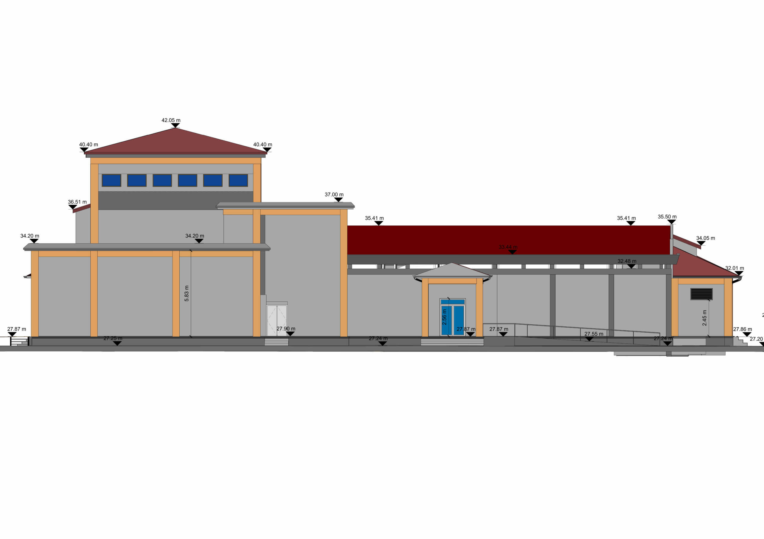
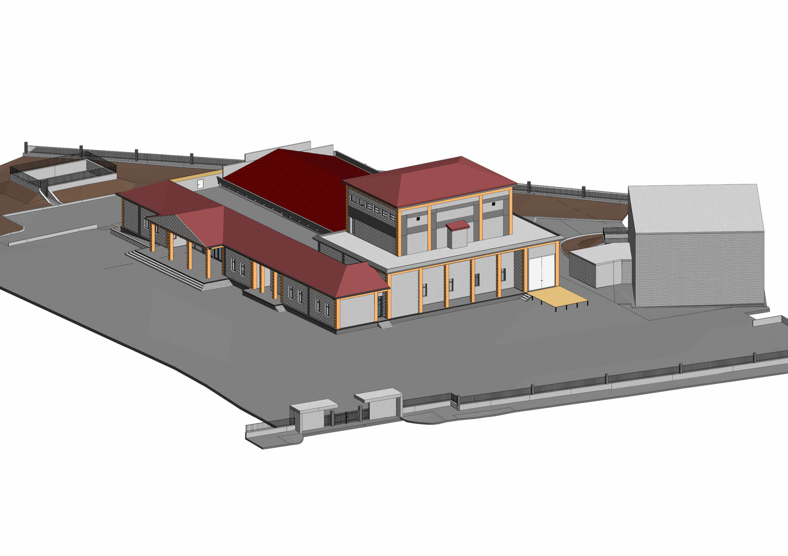
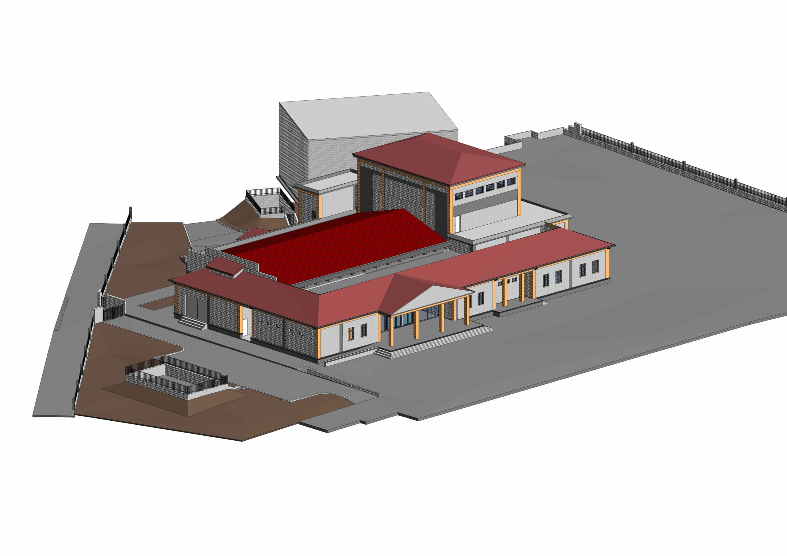
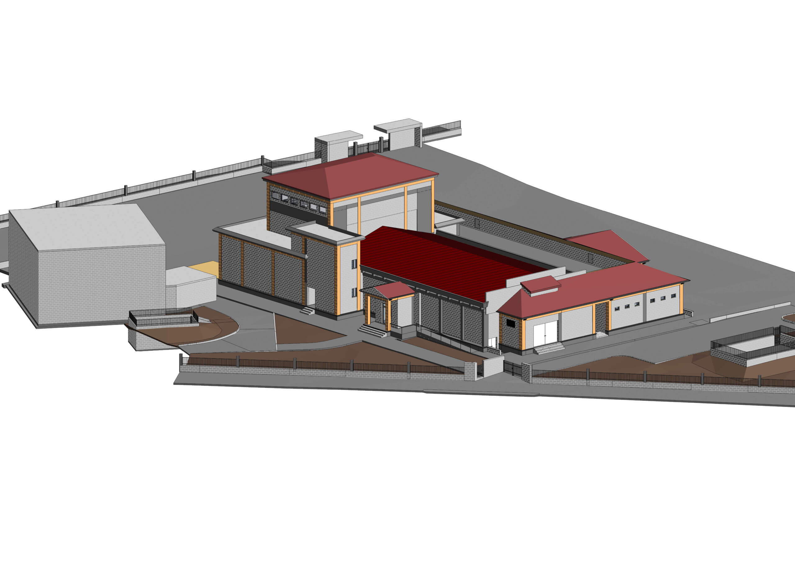
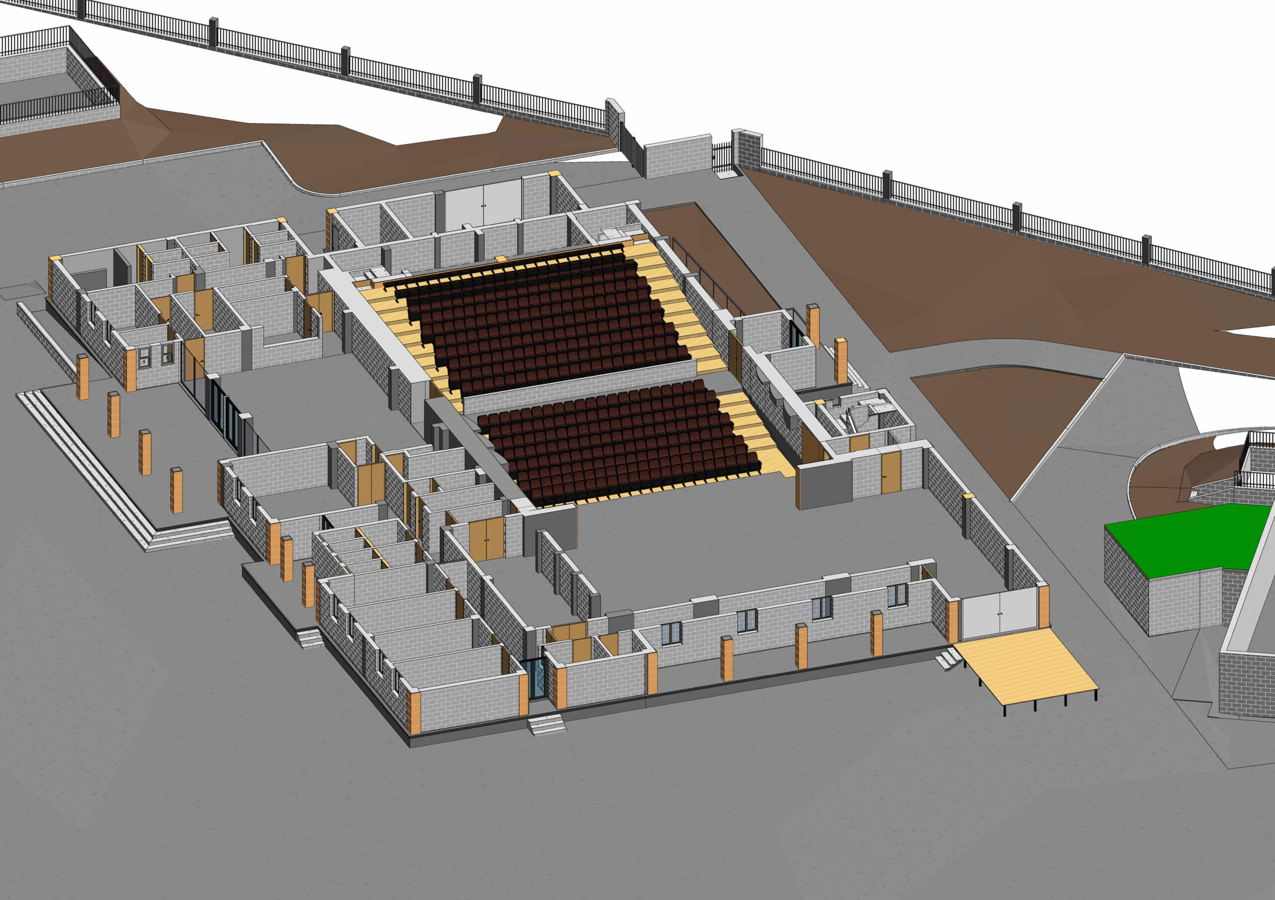
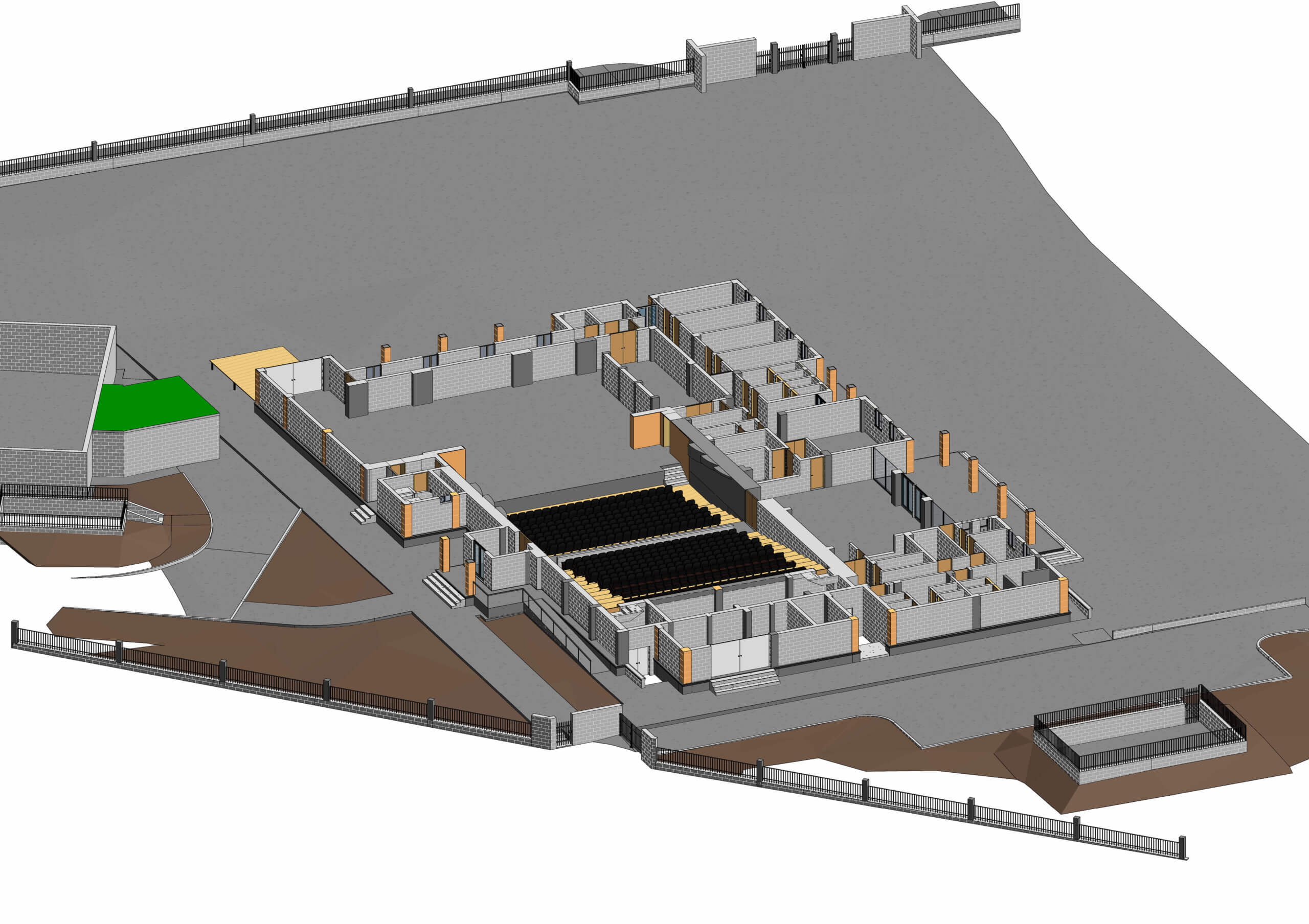
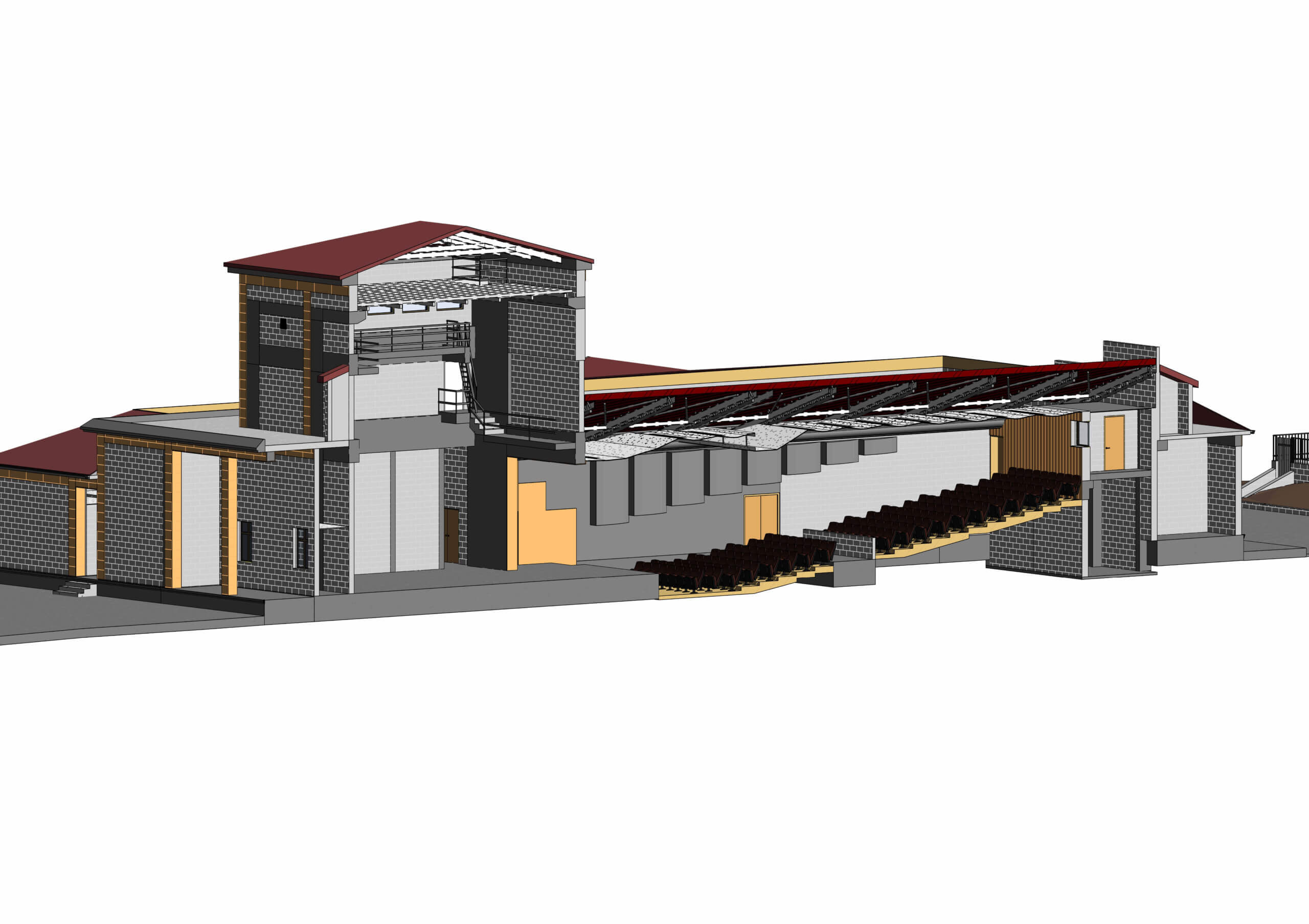
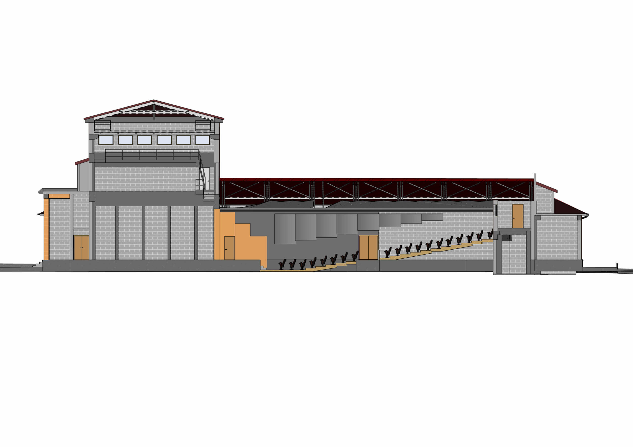
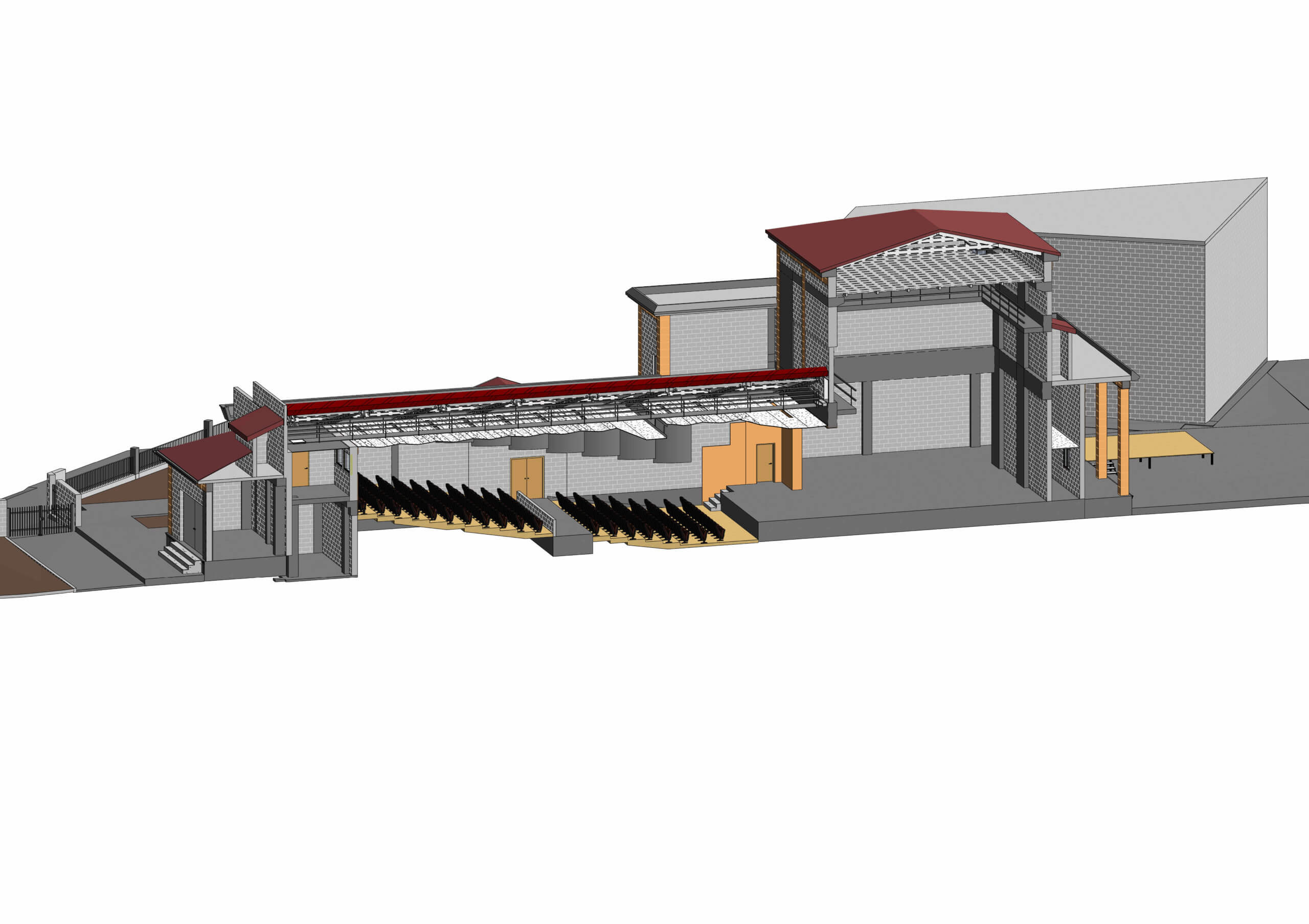
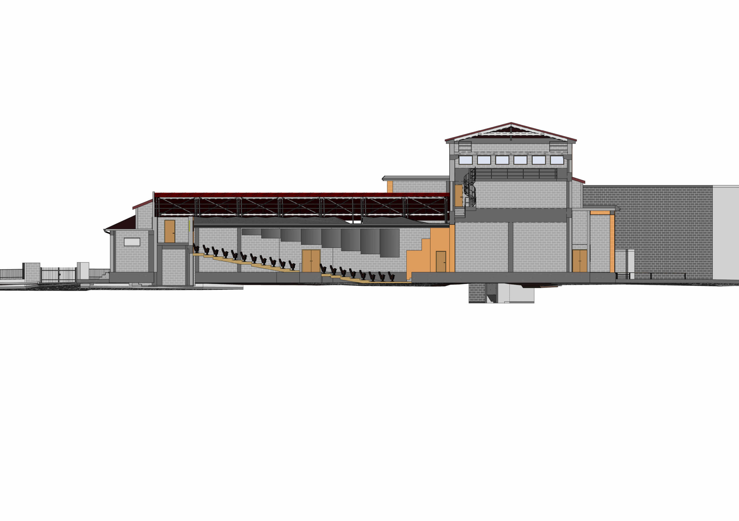
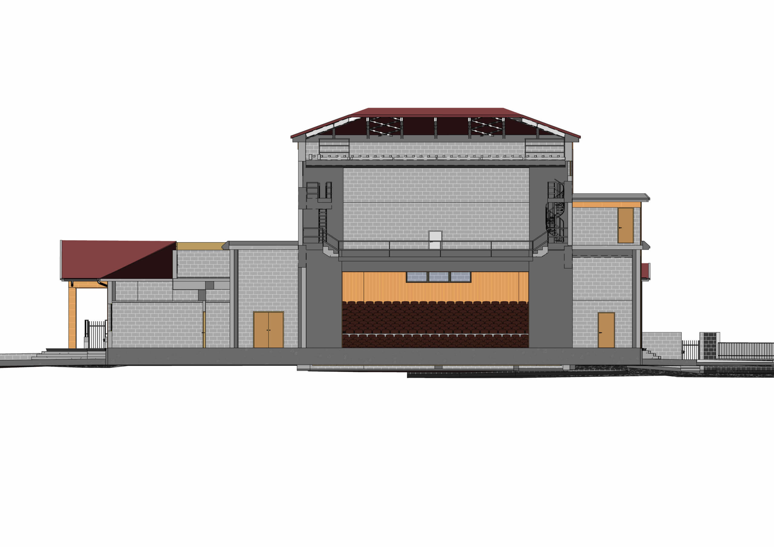
Sample gallery: accurate 3D BIM models generated from our laser-scan surveys.
Scan to BIM – frequently asked questions
What accuracy can you achieve? Survey-grade – typically a few millimetres on the point cloud, depending on equipment and site conditions.
Which BIM format do you deliver in?Open-standard IFC as standard; other formats on request.
How long does a project take? It depends on the building size and the level of detail; we provide a clear timeline with every quote.
Do you cover all of Cyprus? Yes – we operate across the island.