Aphrodite Hills in 3D: An Interactive Digital Twin of a Luxury Paphos Resort
When Aphrodite Hills — one of Cyprus’s most prestigious golf, spa and residential resorts, set on the coast near Paphos — wanted a richer, more engaging way to present its property online, P.A.L. Land Surveying & GIS delivered an interactive 3D digital twin of the entire resort.
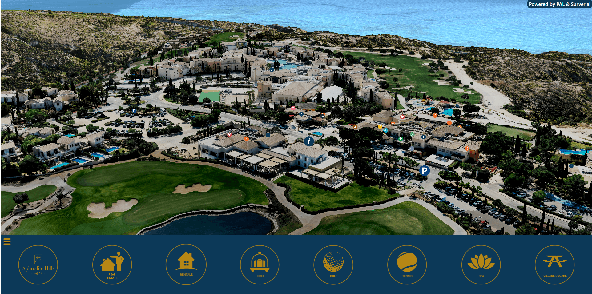
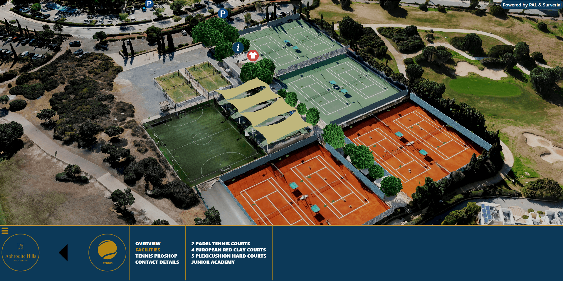
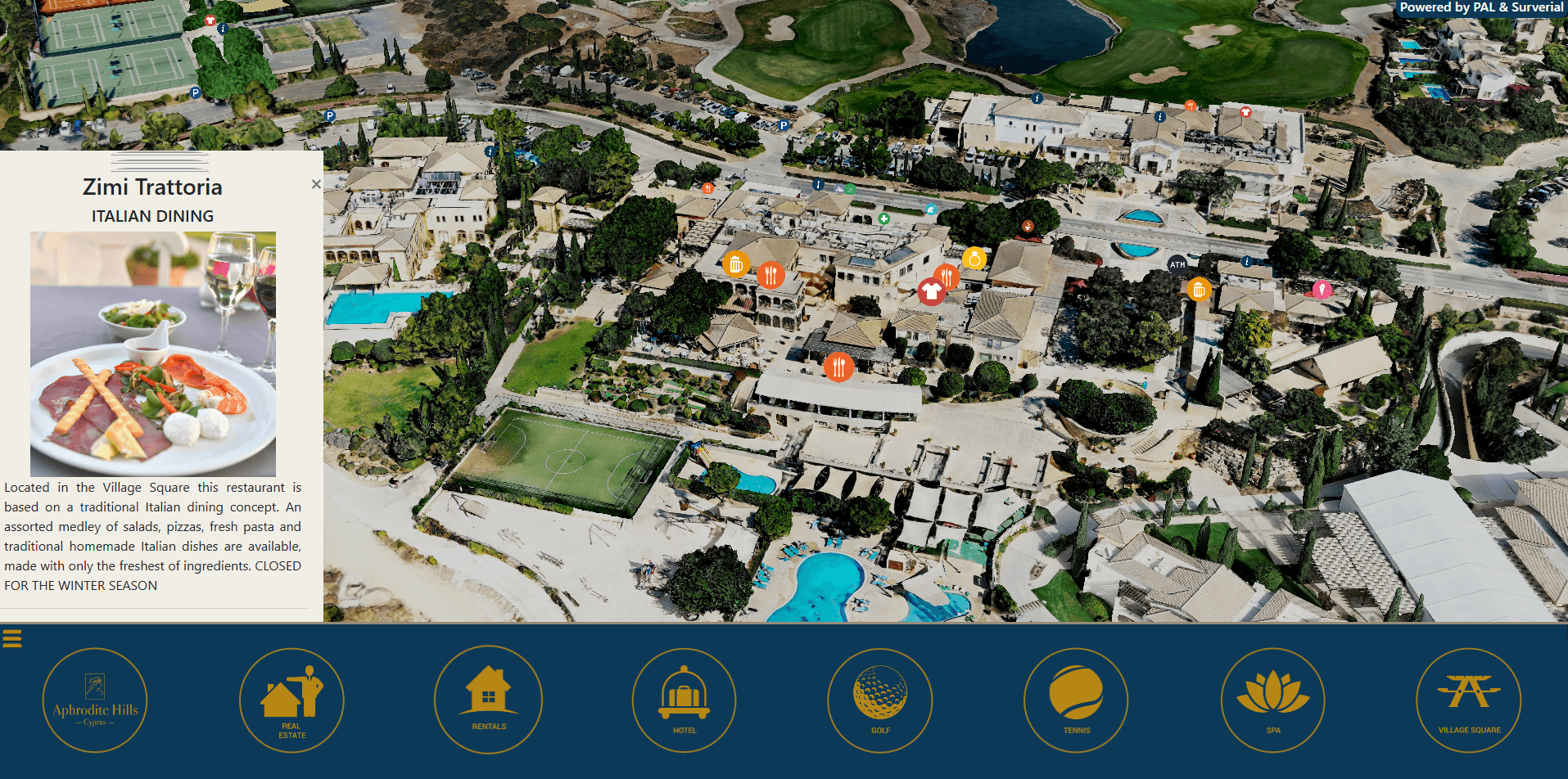
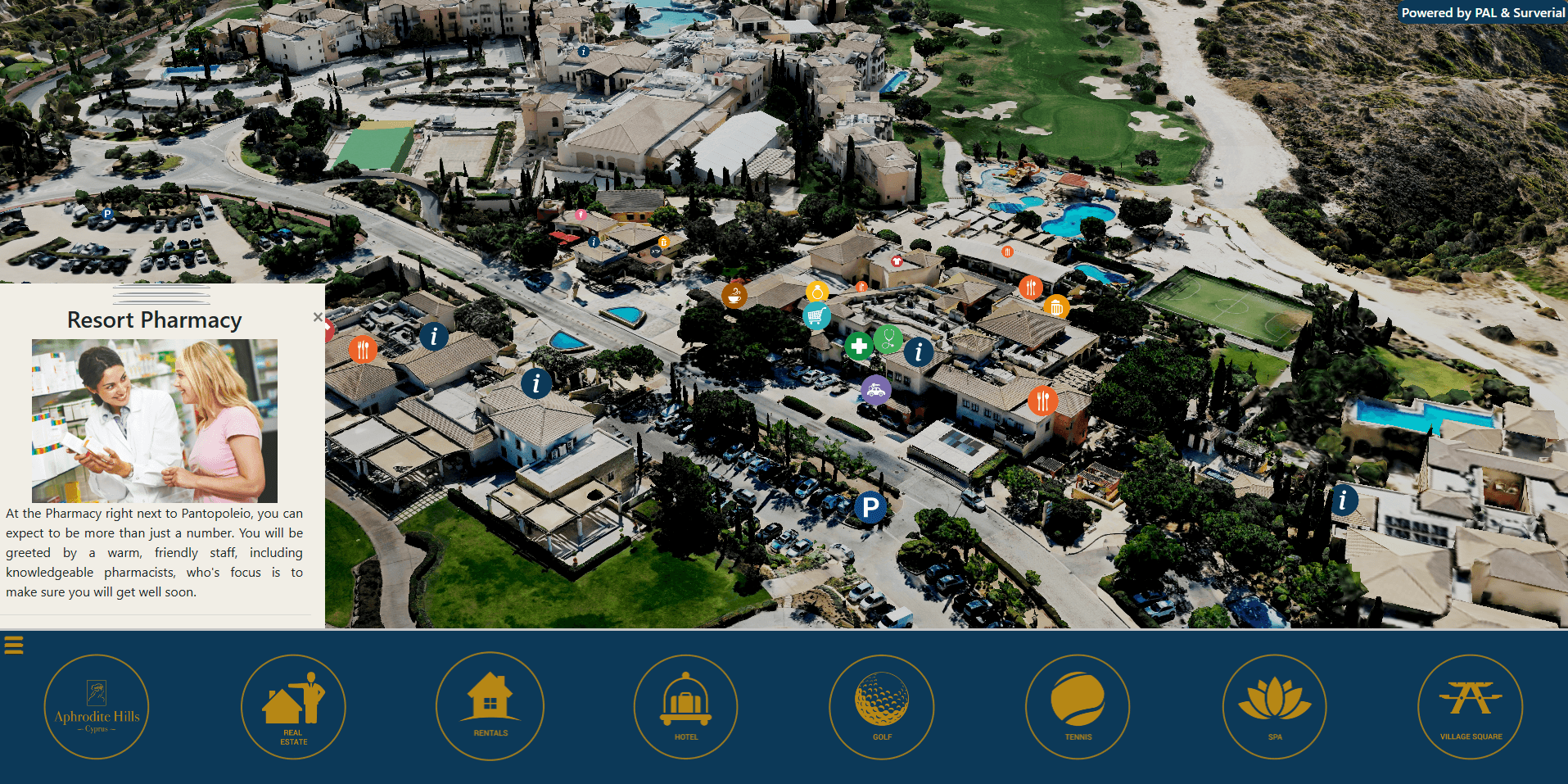
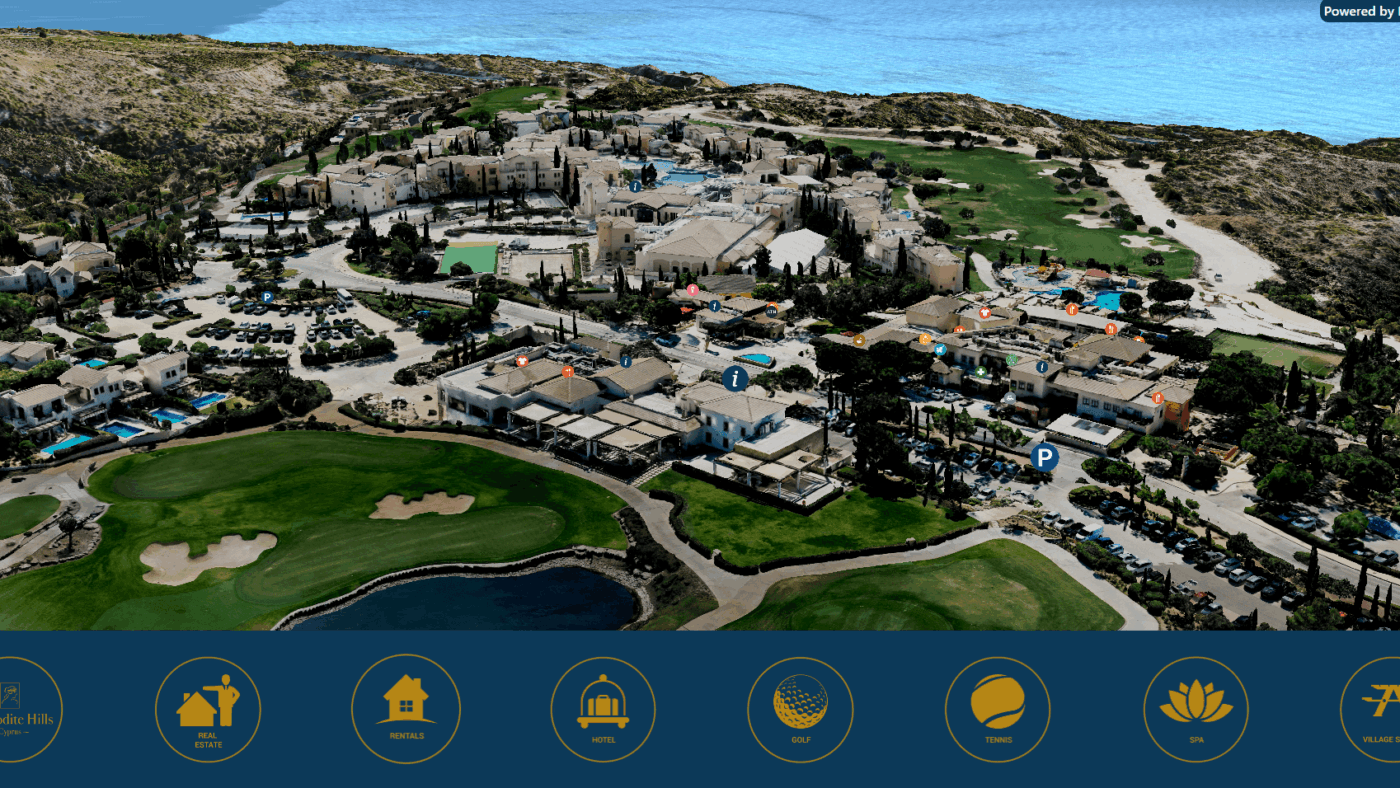
Built from drone photogrammetry and streamed straight to the web browser, the digital twin lets anyone fly over Aphrodite Hills in photorealistic 3D — exploring villas, plots and amenities exactly as they sit in the real landscape.
A 3D digital twin is a precise, true-to-scale digital replica of a real place. For Aphrodite Hills we produced a fully navigable, photorealistic 3D model of the resort that runs in any modern web browser — no app, plugin or download required. Visitors can orbit, zoom and pan across the whole estate, switch between satellite and terrain base maps, and drop into points of interest across the resort.
How we created it — drone photogrammetry
The model was captured using drone photogrammetry: our UAV flew a controlled grid over Aphrodite Hills, recording thousands of high-resolution, overlapping aerial images. With ground control for survey-grade georeferencing, those images were processed into a textured 3D reality mesh — an accurate, measurable model of every building, road, fairway and villa.
The model was then optimised into streamable 3D tiles and published on a Cesium-powered web platform, so a very large dataset loads smoothly and progressively — even on a phone.
The aerial drone capture for this project was carried out in collaboration with our partner Aerial Cyprus Drone.
What the resort uses it for
The Aphrodite Hills digital twin works as both a property showcase and an immersive visitor experience:
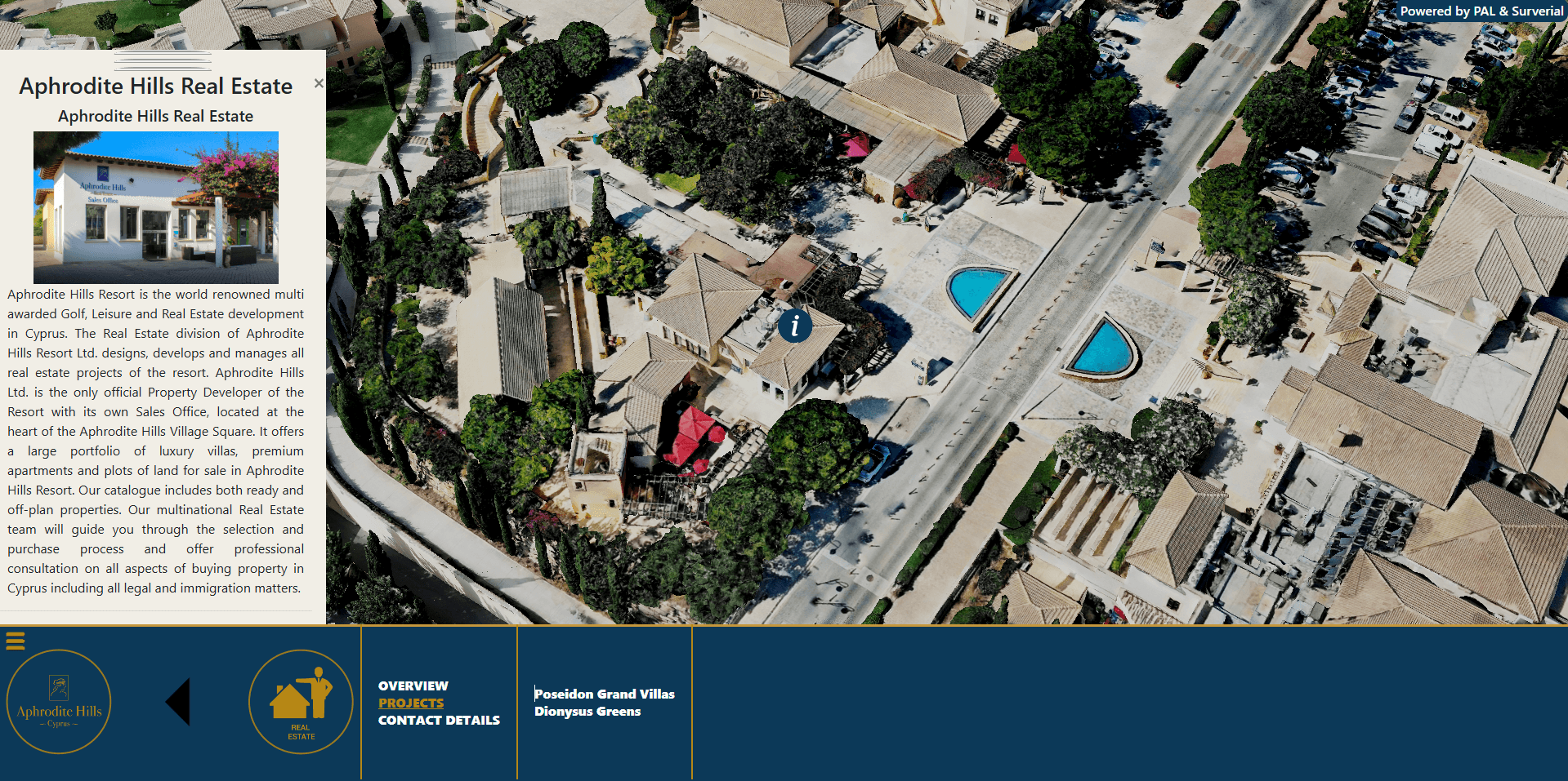
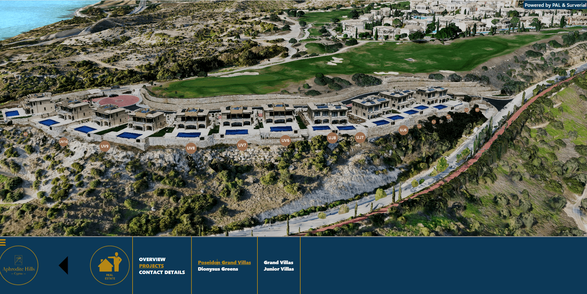
Property & villa showcase — plots, villas and new developments are presented in their true setting, helping buyers understand location, views and surroundings at a glance.
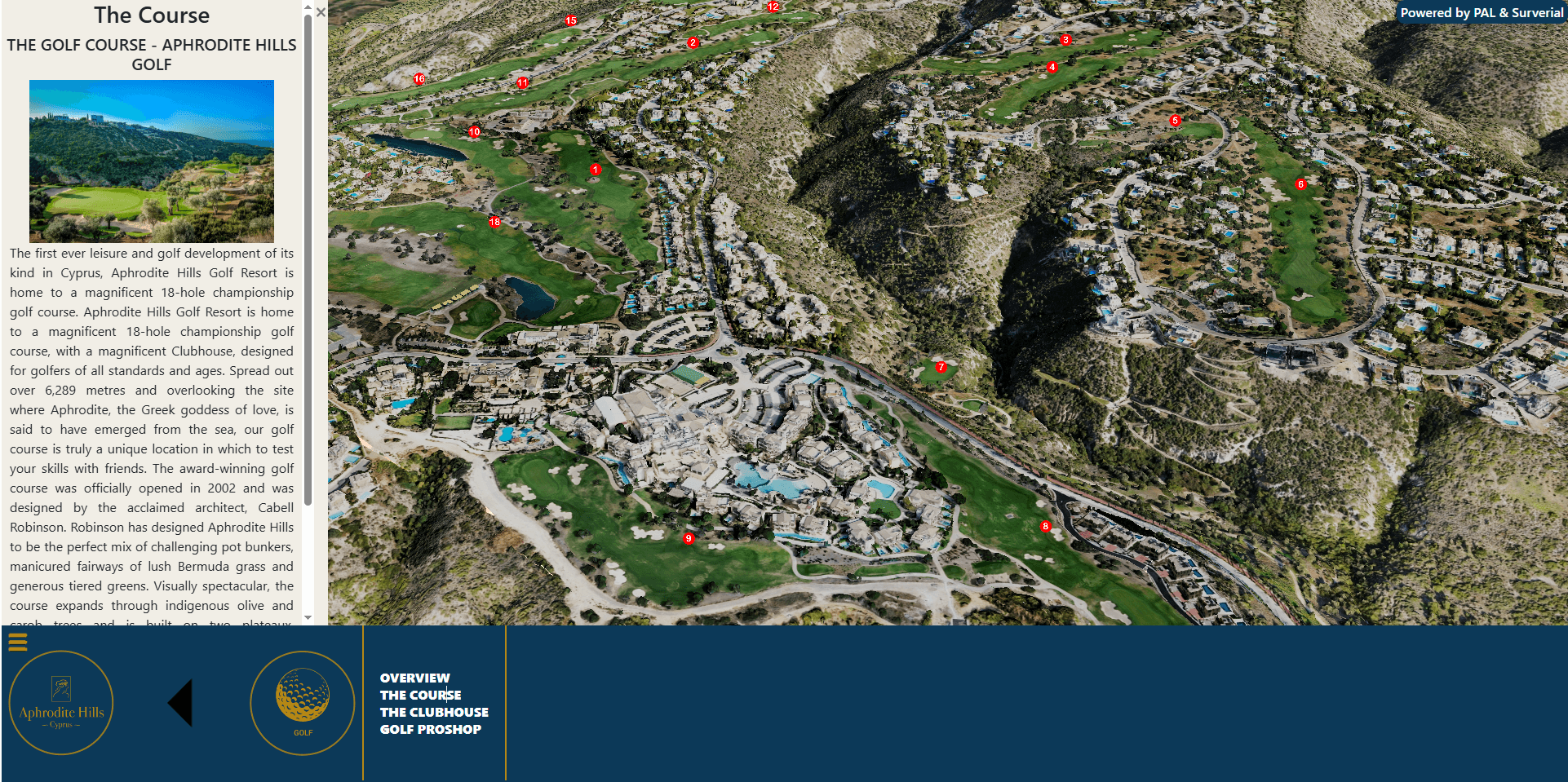
Interactive visitor experience — guests and prospective residents can explore the resort online before they arrive, discovering the golf course, hotels, spa, village square and residential neighbourhoods in 3D.
A single spatial source of truth — an accurate, up-to-date picture of the whole resort that can grow with custom layers and points of interest.
Key features
Photorealistic, measurable 3D model of the entire resort
Smooth in-browser navigation on desktop, tablet and mobile — no installation
Multiple base maps and satellite imagery (aerial, Sentinel-2, ESRI and more)
Real-world terrain and elevation
Custom points of interest and toggleable map layers
Secure login area for private or restricted content
Explore Aphrodite Hills in 3D
Why a 3D digital twin matters
Static brochures and flat maps can only say so much. A 3D digital twin turns a property into an experience — it communicates scale, setting and spatial relationships instantly, keeps a development visible online 24/7, and doubles as a powerful sales and marketing asset. And because it is built on accurate survey data, the same model can later support planning, facilities management and asset records.
From cadastral maps to digital twins
This project reflects how P.A.L. has grown from traditional land surveying into full 3D and GIS services. The same expertise powers our Scan to BIM & 3D laser scanning service and the PAL Maps web-GIS platform for Cyprus. Whether it is a single building or an entire resort, we turn the real world into accurate, usable digital models.
Bring your development to life in 3D
Interested in a 3D digital twin, drone survey or interactive map for your development, resort or estate in Cyprus? Get in touch with P.A.L. and let’s map it in three dimensions.