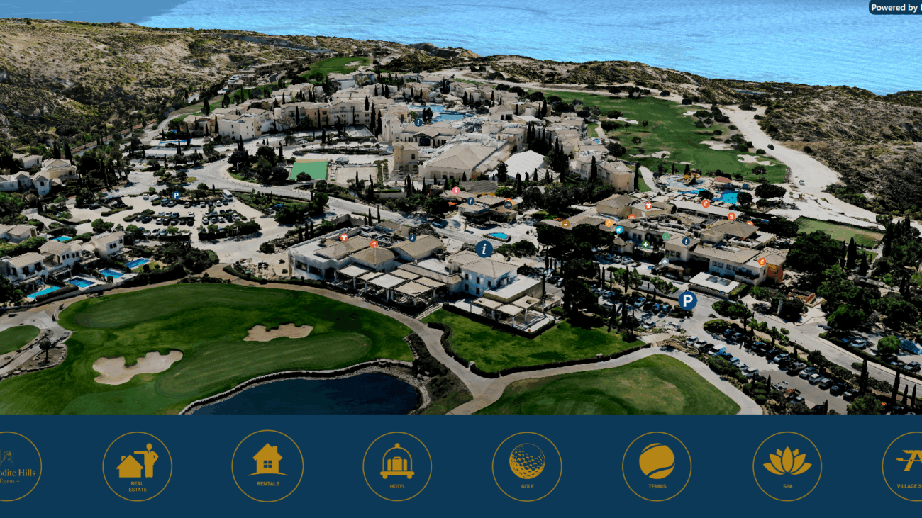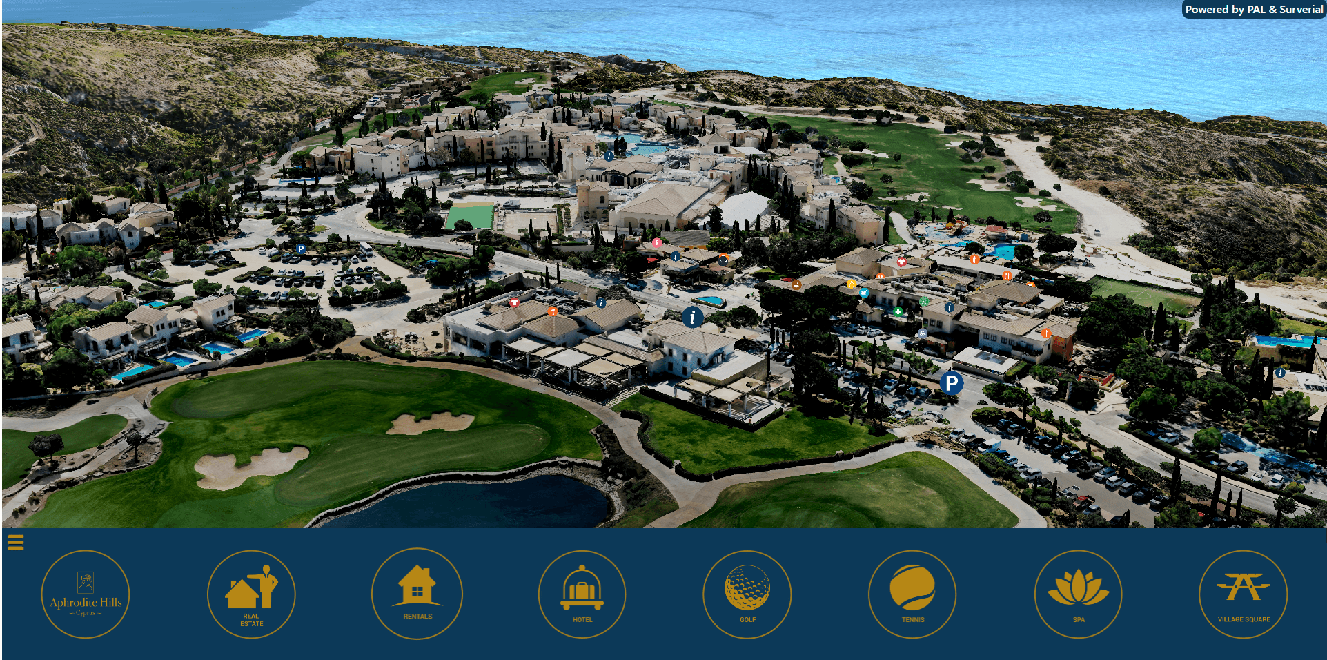
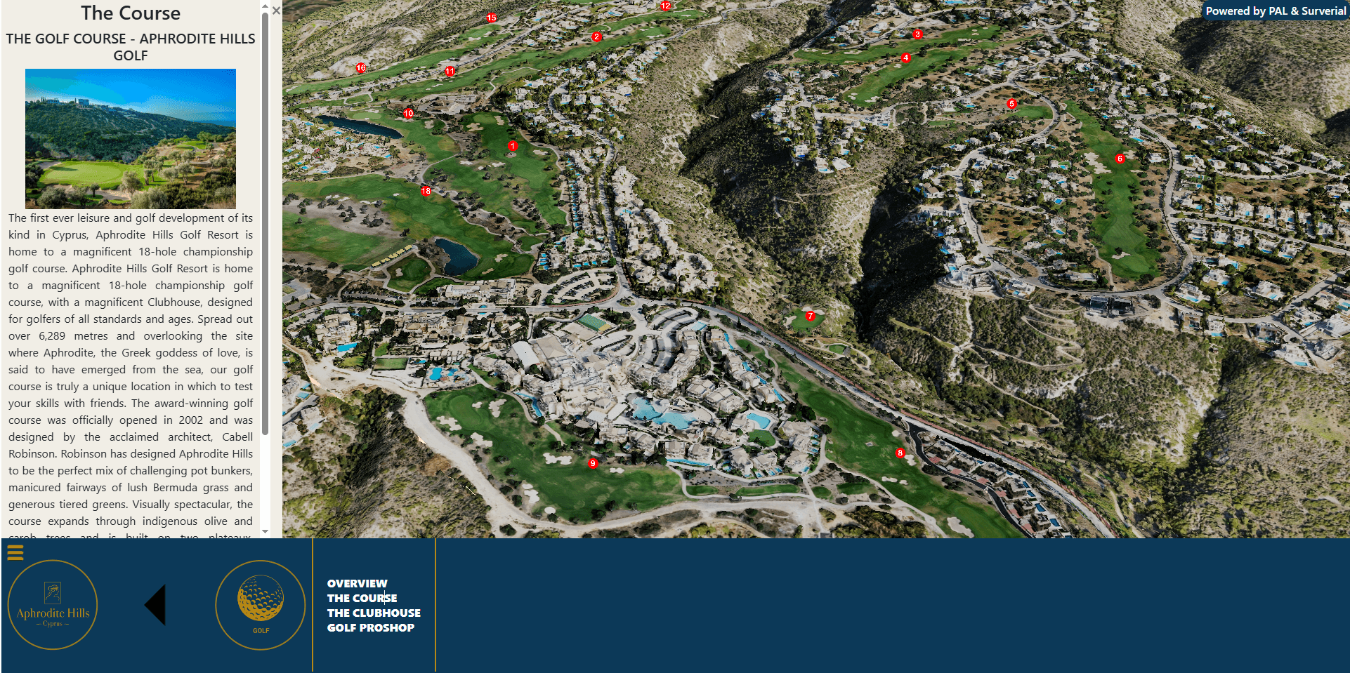
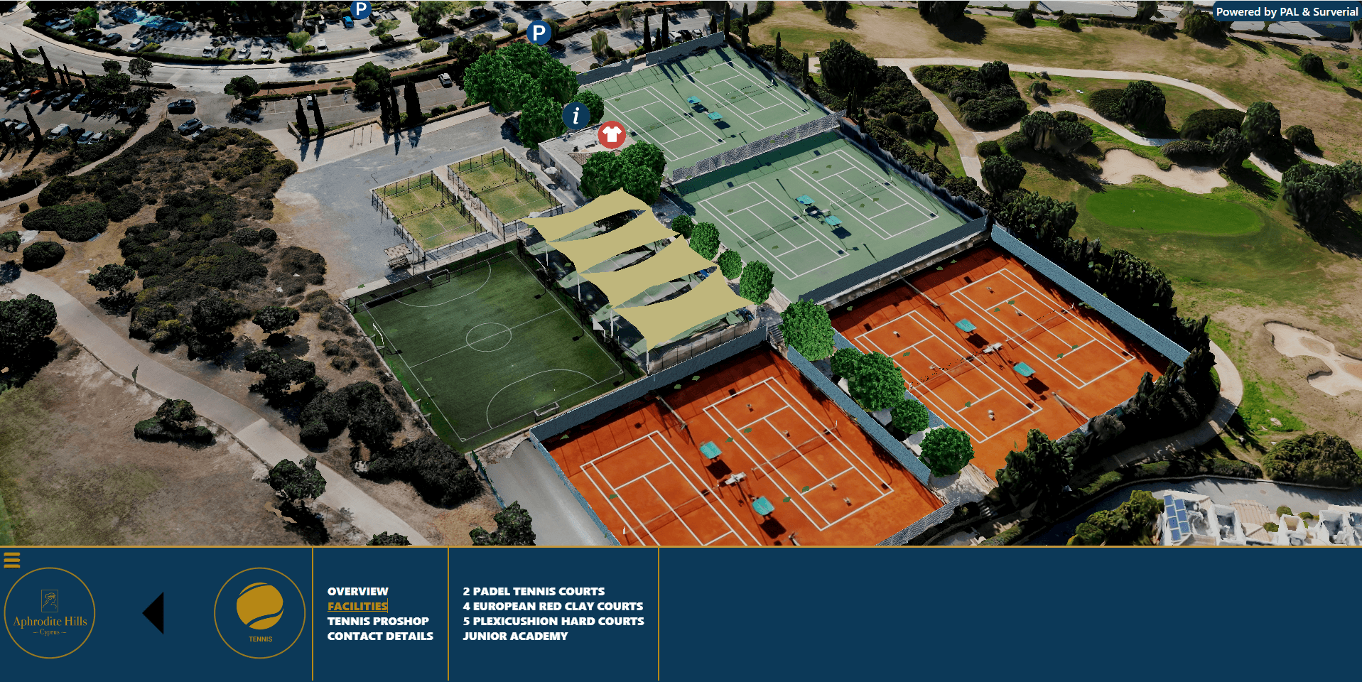
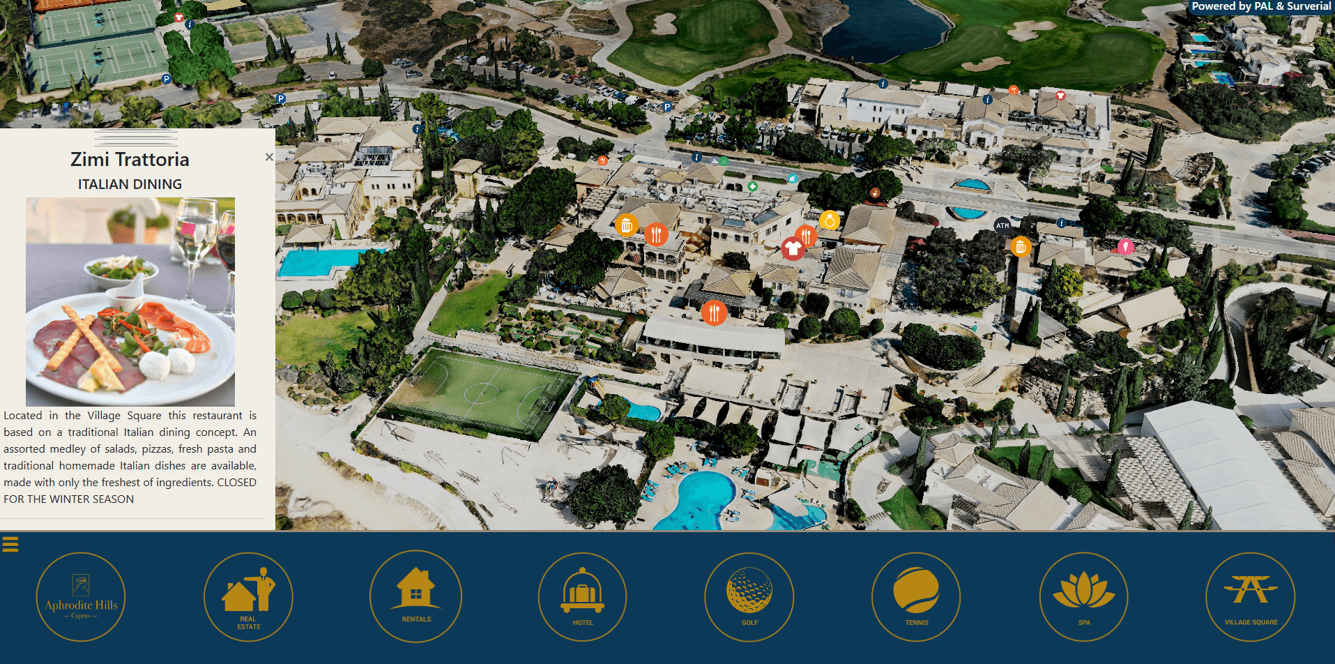
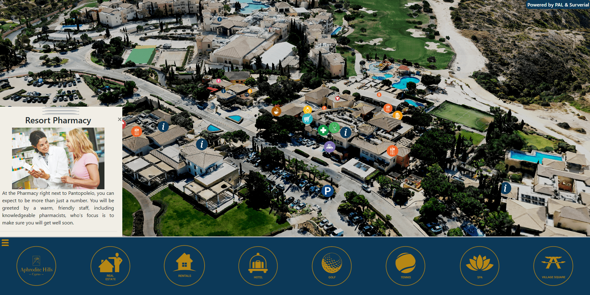

Aerial 3D view of Aphrodite Hills golf resort and the Paphos coastline – interactive digital twin by P.A.L. Land Surveying & GIS

Aphrodite Hills in 3D: An Interactive Digital Twin of a Luxury Paphos Resort

When Aphrodite Hills — one of Cyprus’s most prestigious golf, spa and residential resorts, set on the coast near Paphos — wanted a richer, more engaging way to present its property online, P.A.L. Land Surveying & GIS delivered an interactive 3D digital twin of the entire resort.

Built from drone photogrammetry and streamed straight to the web browser, the digital twin lets anyone fly over Aphrodite Hills in photorealistic 3D — exploring villas, plots and amenities exactly as they sit in the real landscape.

What we built

A 3D digital twin is a precise, true-to-scale digital replica of a real place. For Aphrodite Hills we produced a fully navigable, photorealistic 3D model of the resort that runs in any modern web browser — no app, plugin or download required. Visitors can orbit, zoom and pan across the whole estate, switch between satellite and terrain base maps, and drop into points of interest across the resort.

How we created it — drone photogrammetry

The model was captured using drone photogrammetry: our UAV flew a controlled grid over Aphrodite Hills, recording thousands of high-resolution, overlapping aerial images. With ground control for survey-grade georeferencing, those images were processed into a textured 3D reality mesh — an accurate, measurable model of every building, road, fairway and villa.

The model was then optimised into streamable 3D tiles and published on a Cesium-powered web platform, so a very large dataset loads smoothly and progressively — even on a phone.

The aerial drone capture for this project was carried out in collaboration with our partner Aerial Cyprus Drone.

What the resort uses it for

The Aphrodite Hills digital twin works as both a property showcase and an immersive visitor experience:

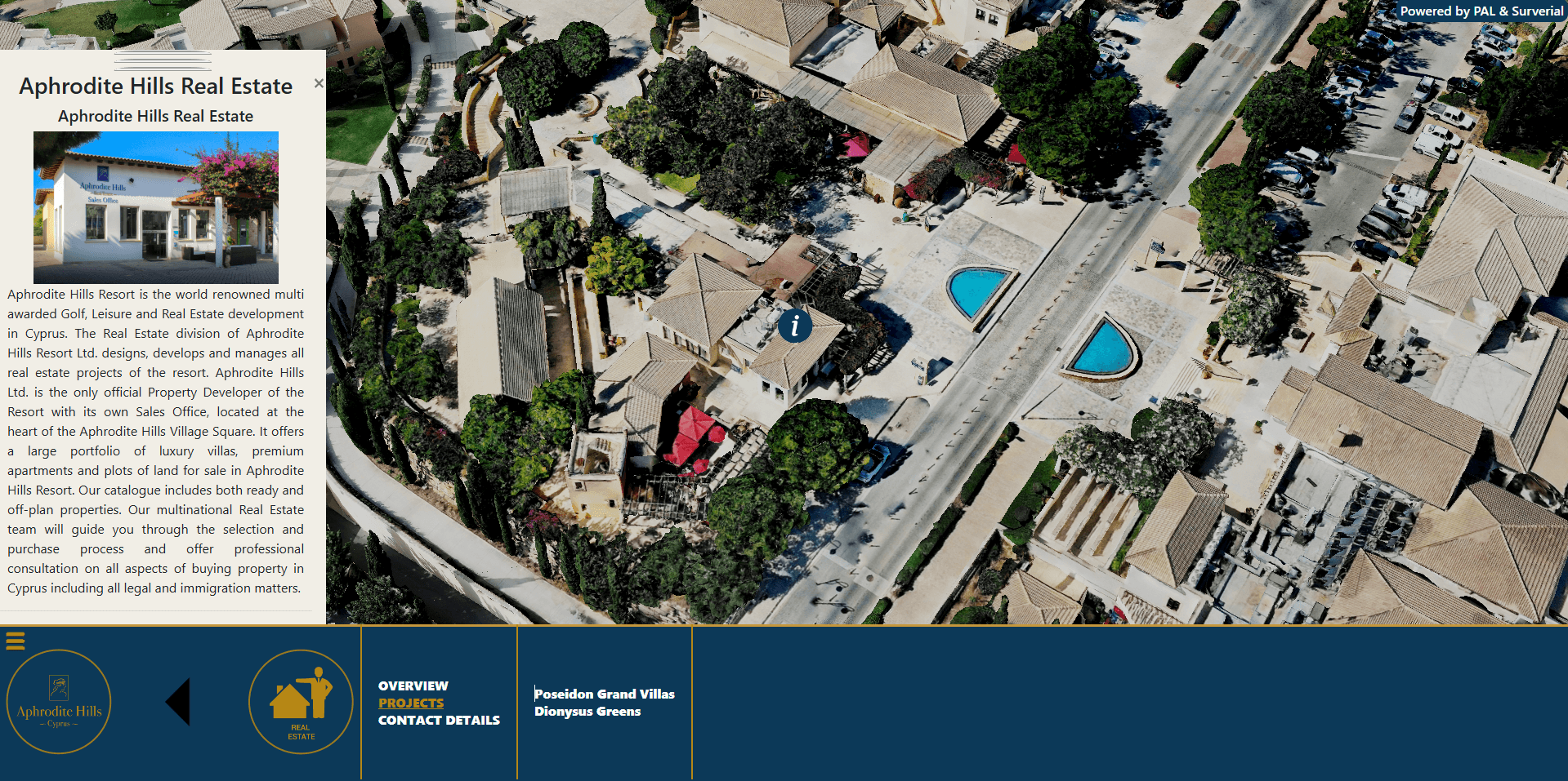
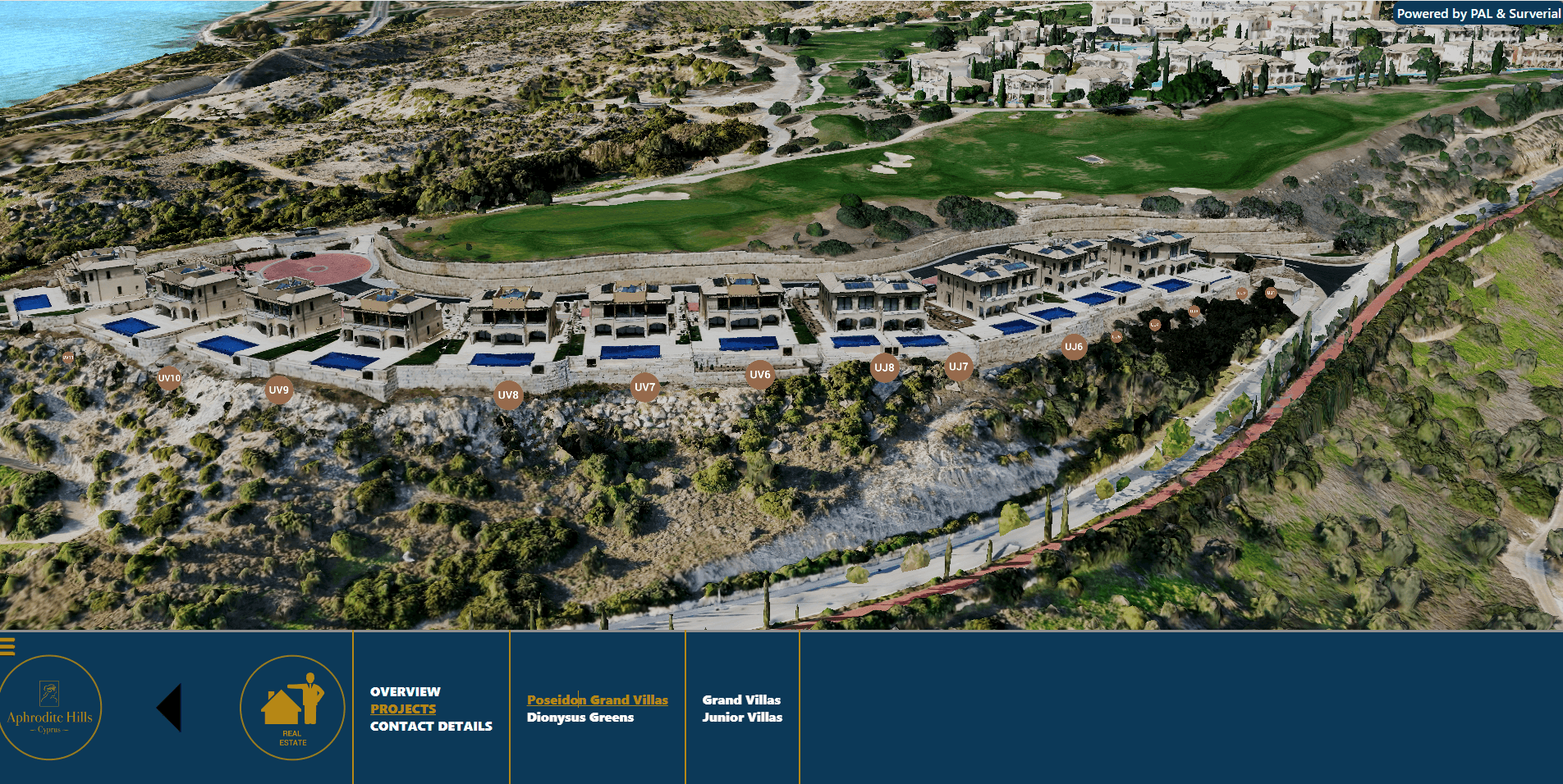
  • Property & villa showcase — plots, villas and new developments are presented in their true setting, helping buyers understand location, views and surroundings at a glance.
  • Interactive visitor experience — guests and prospective residents can explore the resort online before they arrive, discovering the golf course, hotels, spa, village square and residential neighbourhoods in 3D.
  • A single spatial source of truth — an accurate, up-to-date picture of the whole resort that can grow with custom layers and points of interest.

Key features

  • Photorealistic, measurable 3D model of the entire resort
  • Smooth in-browser navigation on desktop, tablet and mobile — no installation
  • Multiple base maps and satellite imagery (aerial, Sentinel-2, ESRI and more)
  • Real-world terrain and elevation
  • Custom points of interest and toggleable map layers
  • Secure login area for private or restricted content

Explore Aphrodite Hills in 3D

Why a 3D digital twin matters

Static brochures and flat maps can only say so much. A 3D digital twin turns a property into an experience — it communicates scale, setting and spatial relationships instantly, keeps a development visible online 24/7, and doubles as a powerful sales and marketing asset. And because it is built on accurate survey data, the same model can later support planning, facilities management and asset records.

From cadastral maps to digital twins

This project reflects how P.A.L. has grown from traditional land surveying into full 3D and GIS services. The same expertise powers our Scan to BIM & 3D laser scanning service and the PAL Maps web-GIS platform for Cyprus. Whether it is a single building or an entire resort, we turn the real world into accurate, usable digital models.

Bring your development to life in 3D

Interested in a 3D digital twin, drone survey or interactive map for your development, resort or estate in Cyprus? Get in touch with P.A.L. and let’s map it in three dimensions.

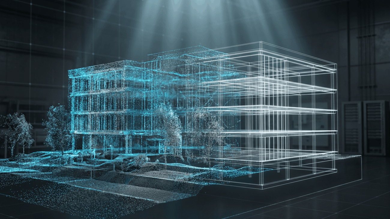
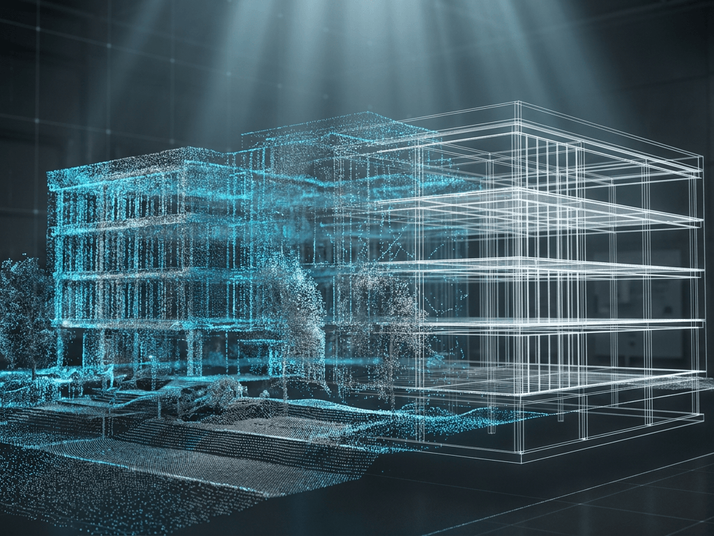
What is Scan to BIM – illustration of a 3D laser scan to BIM model, Cyprus

What is Scan to BIM? A Practical Guide for Cyprus

What is Scan to BIM – illustration of a 3D laser scan to BIM model, Cyprus

If you own, design or manage buildings in Cyprus, you may have heard the term Scan to BIM (also written Scan 2 BIM or Scan2BIM). It is one of the fastest, most accurate ways to capture an existing building or site and turn it into a usable digital model. This short guide explains what Scan to BIM is, how it works, what you receive and when it makes sense to use it.

What is Scan to BIM?

Scan to BIM (Building Information Modelling) is the process of capturing a real building or site with 3D laser scanning and turning the resulting data into an accurate 3D digital model. Instead of measuring a building by hand, we scan it – recording millions of precise points – and model those points into a coordinated, information-rich BIM model that reflects the real, as-built conditions.

How Scan to BIM works

The process has four main stages:

  1. Capture – the site is scanned with terrestrial laser scanners, SLAM mobile mapping and, where useful, drone photogrammetry.
  2. Register – individual scans are aligned into one accurate, georeferenced point cloud.
  3. Model – the point cloud is modelled into a BIM model at the agreed level of detail.
  4. Deliver – you receive the model, drawings and point cloud in open, ready-to-use formats.

What you get

A typical Scan to BIM deliverable includes:

  • A registered point cloud (E57)
  • An open-standard IFC BIM model
  • 2D CAD drawings – plans, sections and elevations
  • Online access to the point cloud and 360° panoramic images, viewable in any browser

When do you need Scan to BIM?

Scan to BIM is especially valuable when you work with existing buildings, where drawings are missing, outdated or unreliable. Common uses in Cyprus include:

  • Renovation, refurbishment and retrofit projects
  • Architectural and structural design on existing buildings
  • MEP coordination and clash detection
  • Heritage and listed-building documentation
  • Facilities and asset management

Understanding Level of Detail (LOD)

Not every project needs the same level of modelling. Level of Development (LOD) defines how detailed the BIM model is – from LOD 200 (approximate geometry for early design) to LOD 300/350 (accurate, coordinated elements). Agreeing the right LOD up front means you only pay for the detail you actually need.

Why choose P.A.L. for Scan to BIM in Cyprus

As licensed land surveyors, we combine survey-grade accuracy with professional BIM modelling. We capture with laser scanning, SLAM and drone, and deliver open-standard models you can build on with confidence – anywhere in Cyprus.

Ready to start? Explore our full Scan to BIM & 3D laser scanning service in Cyprus, or contact our team for a tailored quote.

See a recent example of our 3D work – the 3D digital twin of Aphrodite Hills resort, built from drone photogrammetry.

orthophoto

Orthoimagery 2019

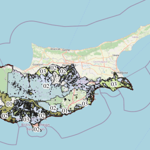
The Department of Land and Registry has published its “newest” orthoimagery/true orthophoto that was captured in 2019.
Compared to 2014 version, the latest version was processed so that every feature visible on the ground are viewed from a vertical perspective, therefore no more tilted buildings or walls.
Sadly a lower resolution version was released, i wonder why.
The imagery can be viewed in our website.

https://maps.palsurveying.com/
 

orthophoto
orthophoto2019
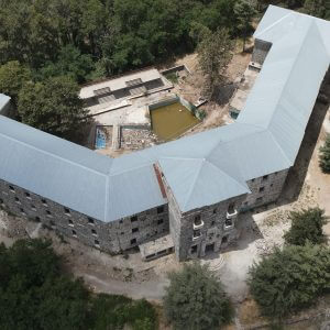
Veregaria Hotel

Veregaria – Berengaria Hotel 3D Model


Veregaria Hotel or Berengaria Hotel is an abandoned Hotel located in Prodromos Village of Cyprus and it is well known for being the best winter resort of Cyprus during the 20th Century.

It took its name from Queen Berengaria who was the wife of King Richard Lionheart and it was build and opened by Mr. Kokkalos in 1931.

The Hotel is also known as “The Hotel of The Kings” because it used to be famous for attracting famous guests which some of them were Pharouk, The King of Egypt, and the president of Israel, Ezer Vaisman. It also used to be the most popular hotel because of its distinctive architecture and location. It is located on the top of Troodos Mountain and it has a spectacular view. Read More…

Veregaria Hotel


3D Model of the area